Geology & Landforms
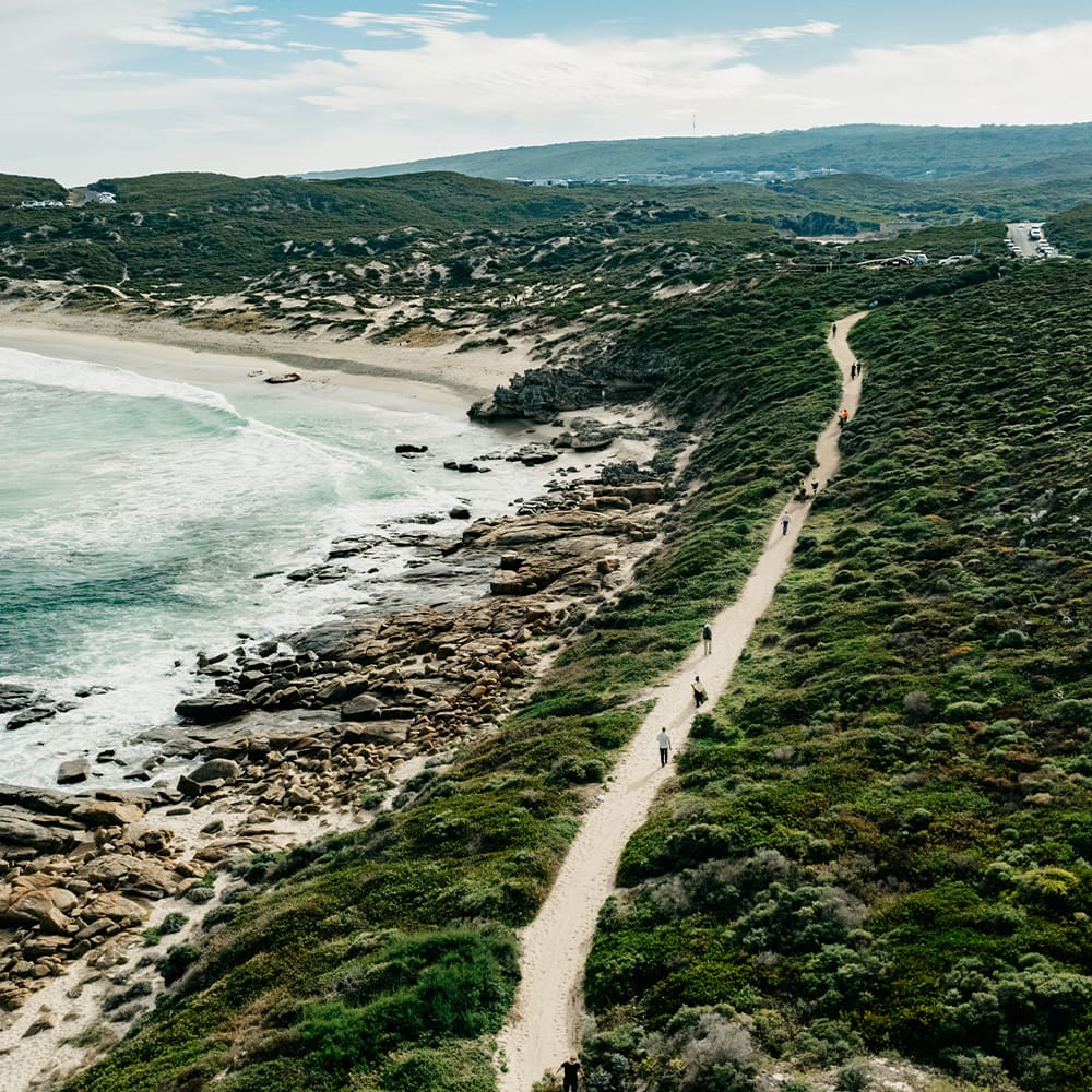
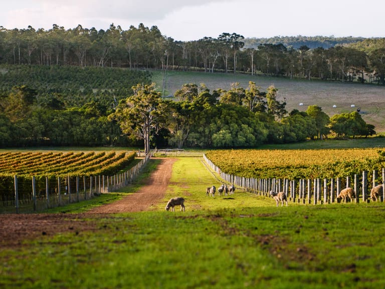
The Margaret River Wine Region is characterised by its distinct shape, which deviates out from the main coastal line with capes at its north (Cape Naturaliste) and south (Cape Leeuwin), as well as its diversity of landforms.
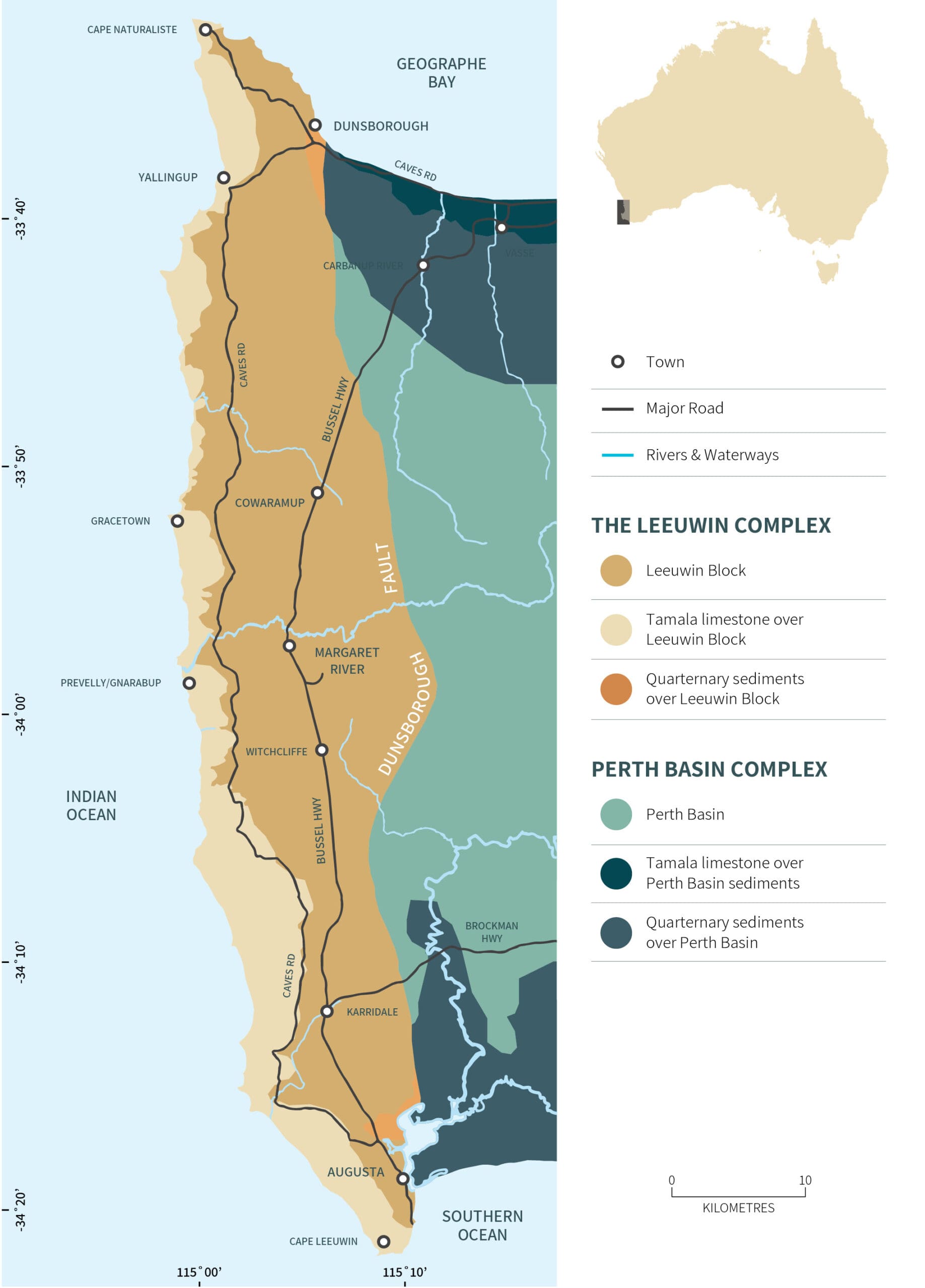
The Margaret River Wine region covers 213,000 hectares of land, running 110 kilometres north to south, and 27 kilometres west to east.
The land is defined by two unique areas split by the Dunsborough Faultline, which runs the full length of the region, vertically. To its west, the Leeuwin Complex, with its laterite foundations, high elevations, streams and valleys, is the prized land for over two-thirds of the region’s vineyards. To the east, are sandy soils formed by the decomposition of sedimentary rock.
The diverse landforms across the region support an array of viticulture options and wine styles. 46 percent is cloaked in remnant vegetation, including Jarrah (Eucalyptus marginata), Marri (Corymbia calophylla) and Karri trees (Eucalyptus diversicolor).
Margaret River’s Uniqueness
VITICULTURE LAND
3% of region
5,840 hectares
GEOLOGY AGE
1,130 & 1,600 million years
GEOLOGY TYPE
Gneiss & granite rock
ELEVATION
0-231 metres
(vines 3-140m)
Land of the Saltwater People
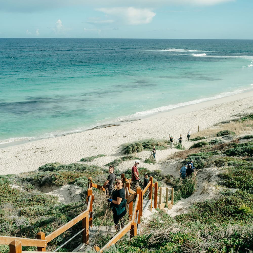
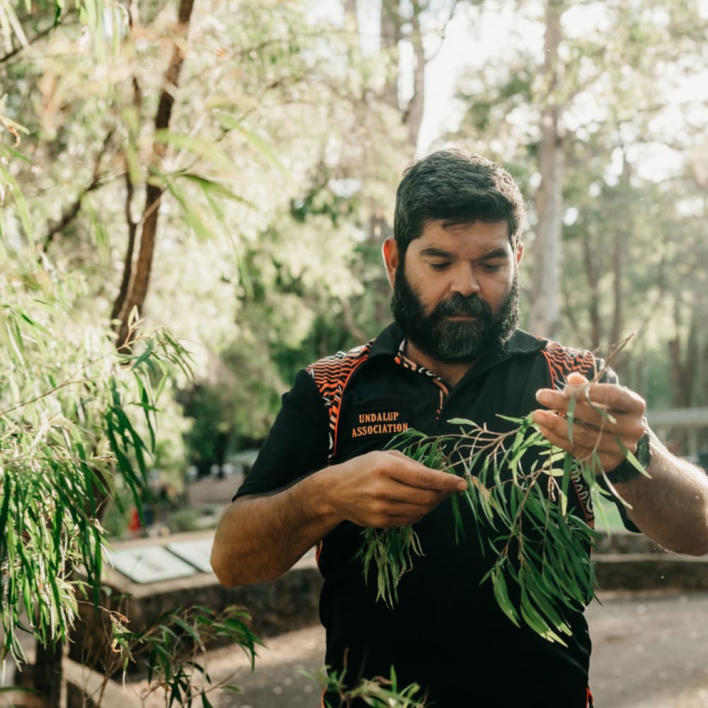
The Margaret River Wine Region is located upon the ancient lands of the Wadandi People, the traditional owners, who have lived in harmony with the environment of Wadandi Boodja (Saltwater People’s Country) for over 50,000 years. The Wadandi people are deeply connected to the natural resources of the land and sea and utilise these according to a cultural lore (learning and knowledge of tradition) to look after country. The maintenance of biodiversity has always been linked to the health of Wadandi people, both spiritually and physically.
There is a significant spiritual connection to the spectacular cave systems that lay beneath the surface along the length of the Leeuwin-Naturaliste Ridge, where ceremonial sites, rock art, paintings and artefacts are preserved. Cultural sites of significance also include the Nannup Caves, Jewel Cave, Devil’s Lair and a Birthing Lake. The Devil’s Lair Cave in Margaret River has provided evidence of some of the oldest records of human occupation in Australia.
The Wadandi seasonal calendar includes six different seasons in a yearly cycle. Each represents the seasonal changes of prevailing weather and with associated growth and activities of flora and fauna. The six seasons are Birak, Bunuru, Djeran, Makuru, Djilba and Kambarang.
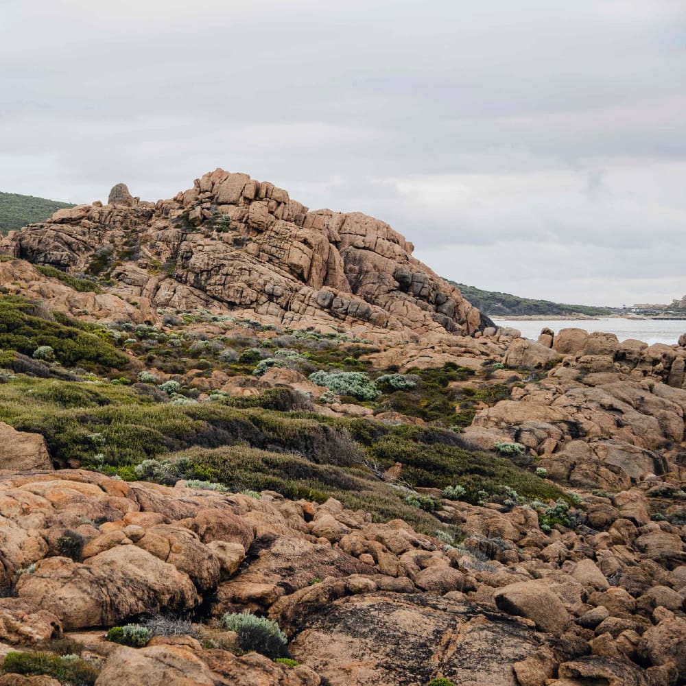
The geology of the Margaret River Wine Region is dated as perhaps the oldest of the Earth’s viticultural regions, surpassing South Africa and Europe, with its granite and gneiss rocks aged between 1,130 and 1,600 million years old.
The Soils of Margaret River Wine Region
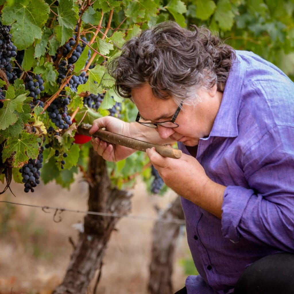
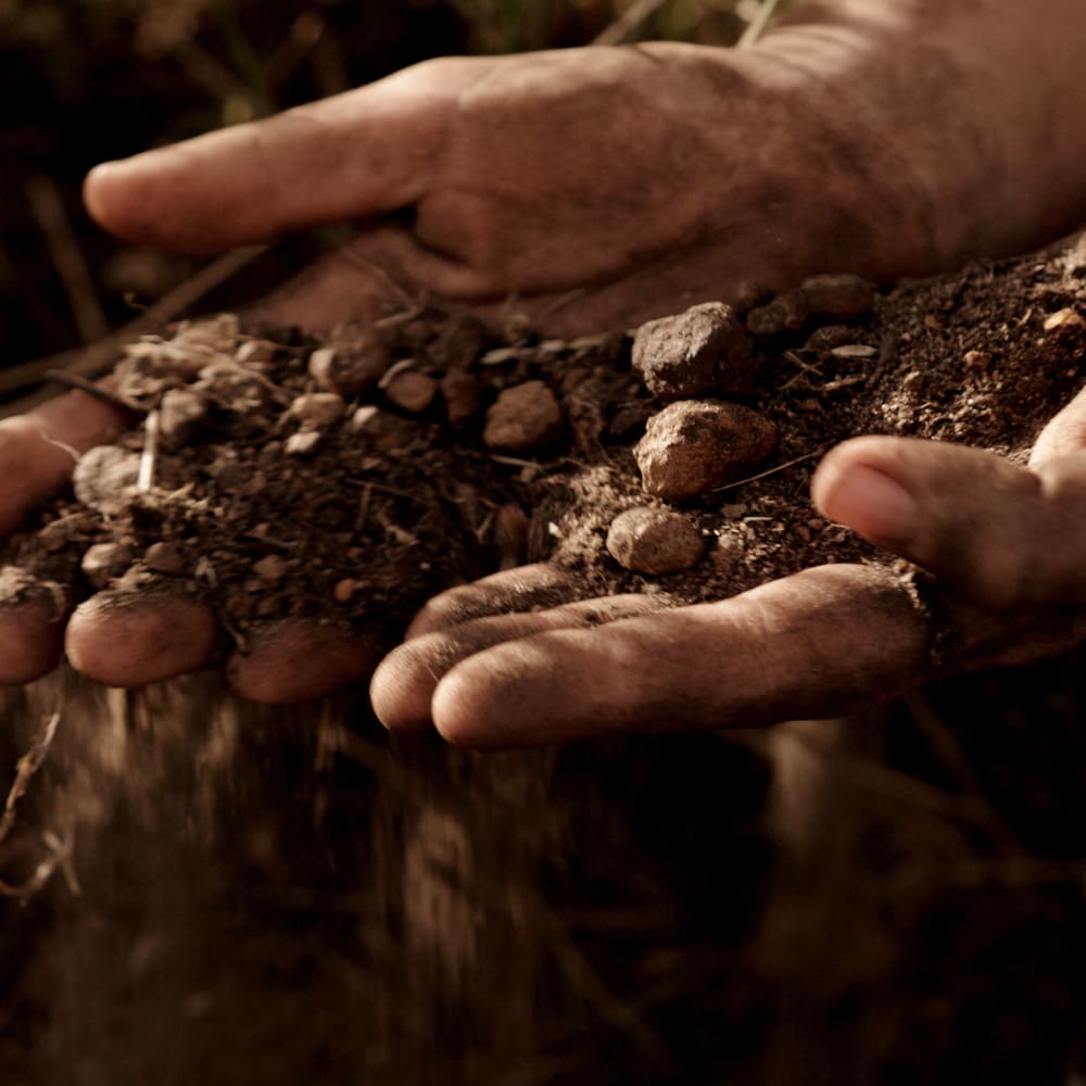
One of the most distinguishing features of the soils of Margaret River is the extent of change that occurs across the region and how frequently they can transition, even across a single block of vines. In many vineyards, the soil profile can alter significantly within a matter of metres. This landscape allows vignerons to match grape varieties by row and produce an array of wine styles over small land areas.
Since the earliest days of viticulture in the region, the specific preference towards land cloaked in the Jarrah, Marri and Karri trees (Eucalyptus marginata, Corymbia calophylla and Eucalyptus diversicolor) has guided vignerons as to what lies under the surface of adjacent paddocks, many of which were cleared by farmers before the wine industry.
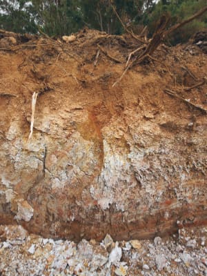
Forest Grove (ironstone gravels) make up the highest percentage of vineyard area at 45 percent, and Mungite (sandy duplex) soils are next, at 29 percent. Ten main soil type groupings have been identified.
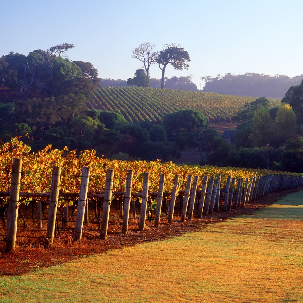
Many of the region’s earliest grape-growing sites were planted on the hills and valleys which transect the region, where Forest Grove soils are the most commonly occurring classification. Gladstones (1966) noted that these soils supported, “a predominance and good growth of Marri,” and recommended them as most suitable for wine production. These soils represent only a quarter of the region’s cleared land; however, a notable 45 percent of the Margaret River Wine Region’s vineyards sit upon them.
Forest Grove soils encourage well-balanced vine growth due to lower inherent fertility, and low-to-moderate available water. They are the shallowest soils of the region, with clay and rock bases generally restricting root growth and moderating vine vigour. Iconic quality Cabernet Sauvignon and Chardonnay fruit is grown on these soil types.
The soils in this group consist of lateritic colluvium derived from a deeply weathered mantle, overlying clay or ironstone parent material. They are gravelly soil profiles ranging from yellow-brown, sandy loam duplexes through to red-brown gradational loams with up to 60 percent ironstone gravel content. The underlying clay can be highly variable, from deep, white sandy clay, to mottled yellow clay, and in the shallowest soils, red gravelly clay. The topsoil is composed of a varying mix of sand and loam, usually with some degree of surface gravel. This exposed ironstone component retains heat, which is radiated into the fruit zone, enhancing the vine’s ripening potential. Waterlogging is generally not a problem with this soil type due to the soils’ prevalence on slopes.
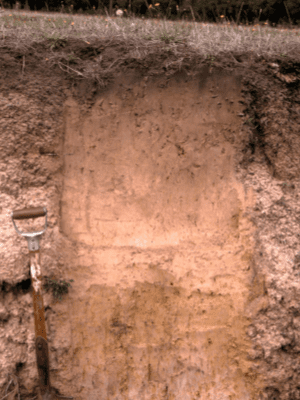
Mungite (sandy loam) soils are the second most widely planted classification in the Margaret River Wine Region and are often mixed with Forest Grove soils. Well-drained Mungite soils with gravel in the profile are suitable for most grape varieties.
Reasonable yields can be supported on the better Mungite soils due to good water and nutrient holding capacities. Good irrigation and nutrition management is commonly used to keep vines in balance. Often vineyards with these soil types require surface and subsurface drainage prior to planting.
Mungite soils are sandy earth soils with varying compositions of loam and gravel. The depth to clay can be highly divergent, ranging from shallow soils with clay at 60 centimetres, to deep sands with clay at 1.5 metres or more. The topsoil is generally a grey-brown colour composed of fluctuating ratios of sand and loam, and often containing a small percentage of gravel.
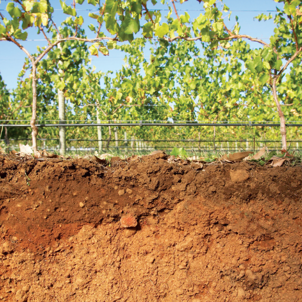
More recently, vines have been planted in the north-east of the region on Marybrook (alluvial) soils. These soils are mainly located in warmer, northern areas of the region and are adaptable to many varieties. The Marybrook soils have excellent water and nutrient holding capacities, and vines grow strongly due to the large potential rooting volume and available water. Vines can produce large canopies and high yields with the correct trellis system. These soils are comprised of red, sandy earth and friable red-brown loamy earth. They have formed relatively young, well-drained alluvium and have a fine, red sand to loamy topsoil, sometimes grading to clay with depth. Some of the region’s deeper, well-drained sandy soils are also suitable for wine grape production, namely the Keenan, Busselton and Spearwood sands.
“These ironstone gravels are of pedogenic origin, that is, they have formed within the soil. This is a strong point of difference with other regions, particularly those in Europe, where gravelly soils comprise fragments of quartz, quartzite, limestone, basalt, flint and other rocks.”
Peter Tille & Angela Stuart-Street Soil Scientists