Mediterranean Climate with a Maritime Influence
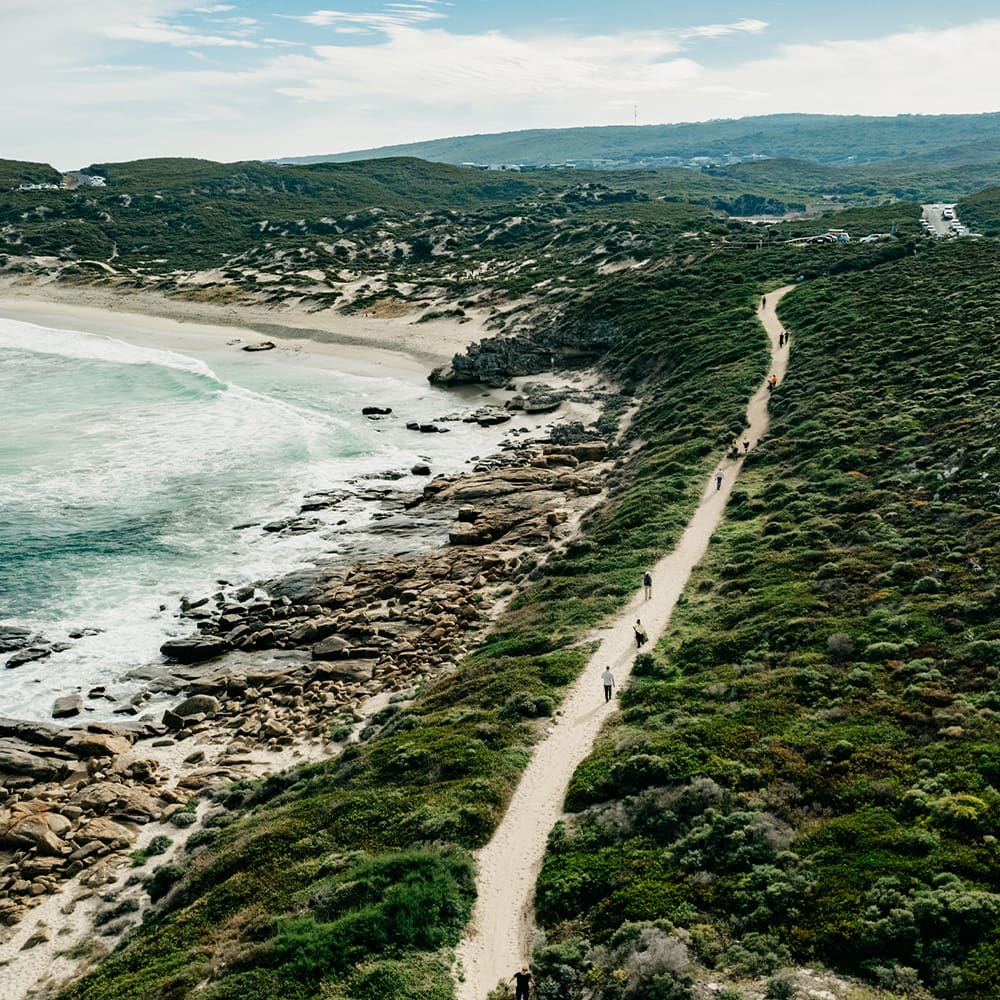
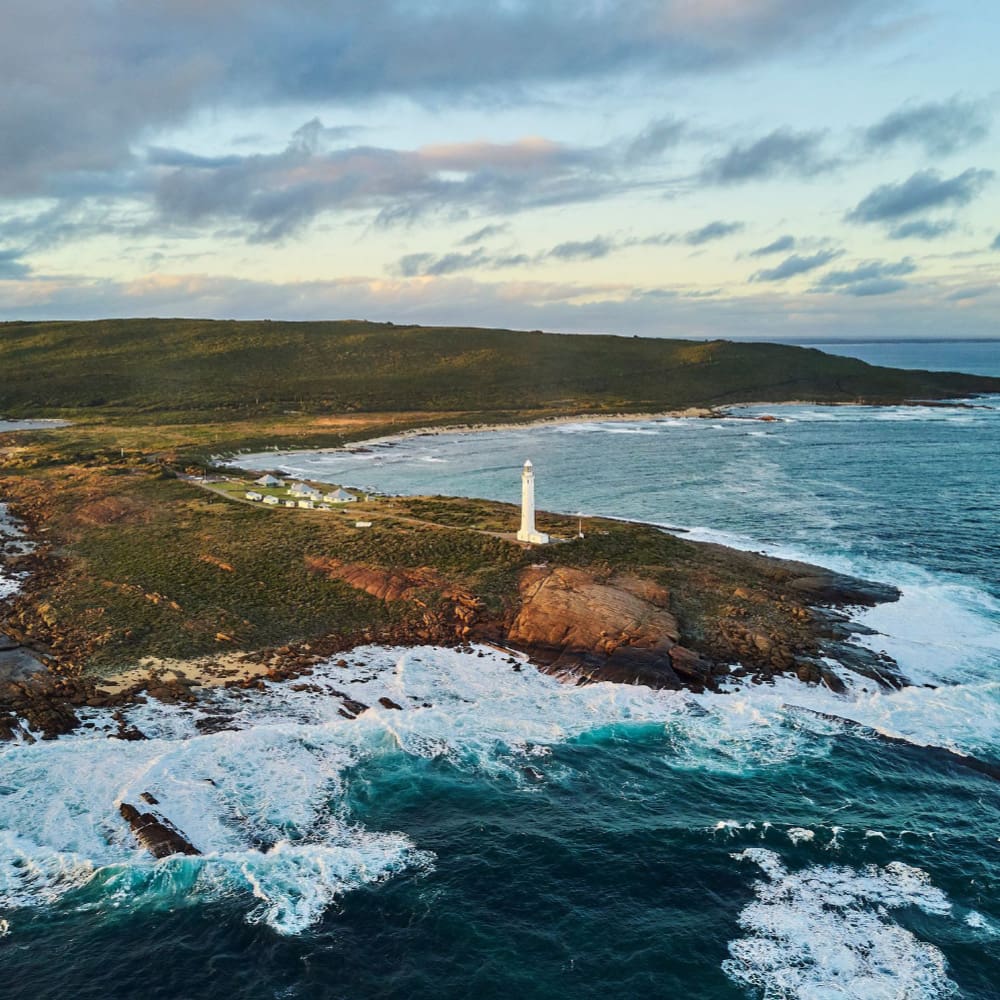
The Margaret River Wine Region sits in the south-west corner of Australia, with its northern most point located 230 kilometres from Western Australia’s capital city of Perth. A long, narrow region, it is hugged by the Indian Ocean on the north and west, and Southern Ocean to the south, creating a strong maritime influence over the climate, with comparatively low temperature variability.
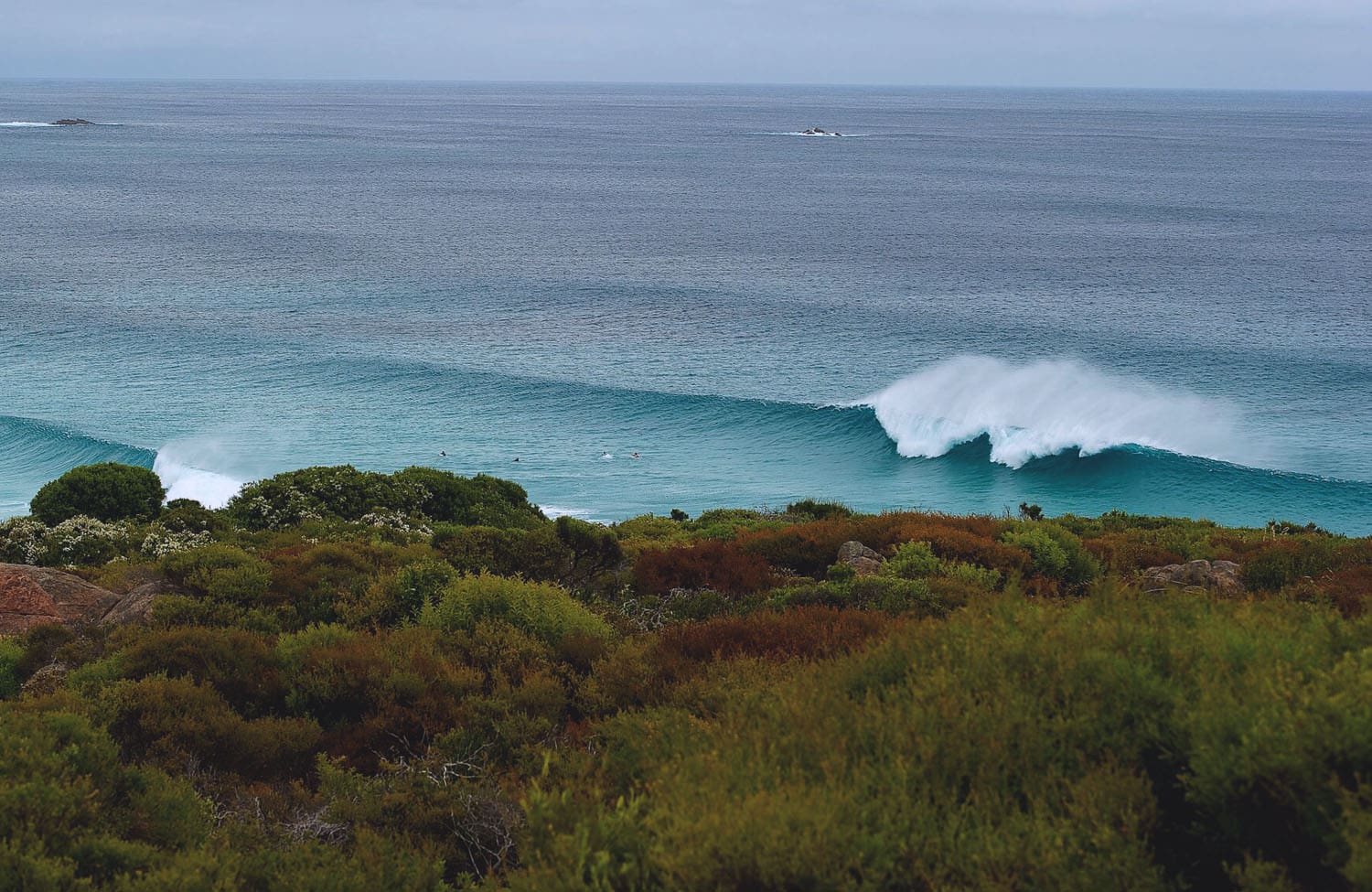
Off the coast to the west, there is 8,000 kilometres of uninterrupted ocean to South Africa, and to the south there are 3,500 kilometres of ocean to Antarctica. This stunning stretch of land is one of the Earth’s most distinct, geographically secluded, coastal wine regions. The climate of the Margaret River Region is classically Mediterranean, with warm to hot, dry summers and mild, wet winters. Cooling afternoon sea breezes are common during the growing season.
Temperatures
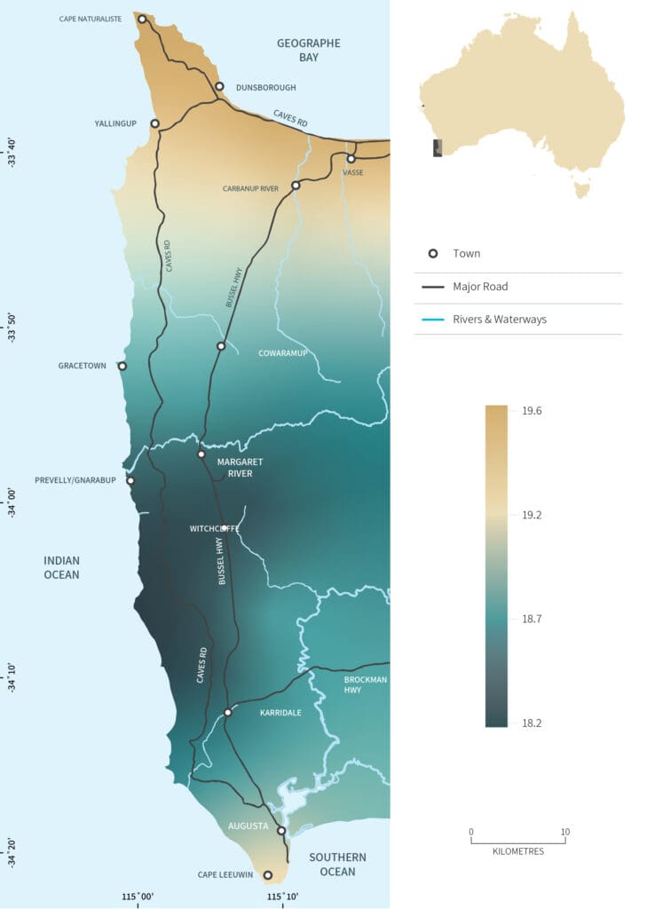
Grape vines favour what can be described as ‘temperate’ climates, which mostly fall within distinct latitudes of 30˚ and 50˚ from the equator. The Margaret River Wine Region fits within this zone, at latitude 33°31’S (Cape Naturaliste) to 34°22’S (Cape Leeuwin) and longitude 114°58’ (Cape Clairault) to 115°18’E (Gladstones Line).
There is a downward gradient of temperature and sunshine hours from the north to the south of the region, with temperatures marginally increasing again south of Karridale. An abrupt increase in cloudiness south of Witchcliffe is a common summer feature. The Indian and Southern Oceans moderate the effect of temperature in the region; its northwest areas are influenced greatly by the Indian Ocean while the Southern Ocean its south-east areas.
Rainfall
The average annual rainfall in the region is between 850 and 1,200 millimetres and is generally higher and more reliable than surrounding areas. Margaret River has the most distinct rainfall patterns of any grape growing region in Australia. Most of the annual precipitation occurs between May and September, with heaviest falls during the winter months of June to August. Summers are generally dry, with December, January and February receiving a monthly average of less than 25 millimetres of rain.
The growing season rainfall is calculated from October to April, receiving an average of 275 millimetres during the entire period and 100 millimetres during the harvest period. This is a good indication of how much water is available to the vine. Rainfall is typically lightest in the north-west and heaviest in the south-east. The Margaret River Wine Region can be known to experience spring storms, which can be detrimental to fruit development and thus yields if flowers and new shoots are exposed.
Climate Statistics

AVERAGE ANNUAL RAINFALL
1,100mm
mean january temperature
20.6°C (69.1°F)
GROWING SEASON MEAN TEMPERATUREs
18.2°C max
19.5°C min
average diurnal temperature range
10.1°C (50.2°F)
The Ocean’s Significant Influence
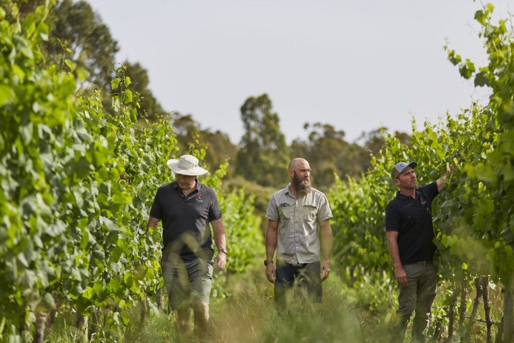
The tempering impact of the Indian and Southern Oceans is a major contributor to the region’s superb grape growing conditions. This maritime influence is responsible for the Margaret River Wine Region’s low diurnal temperature range, uniform heat accumulation, low seasonal variation and its overall milder climate compared to inland wine regions.
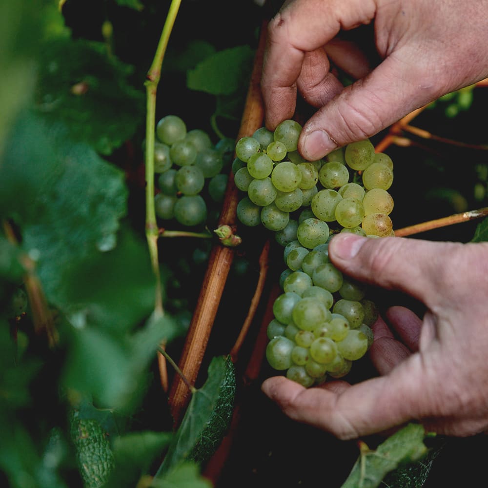
The maritime influence is evident in the compelling elegance of the wines, brought about by cooling breezes which allow for the retention of fragile aromatics and flavour compounds.
Throughout the long growing season, the vines typically experience very little heat stress, meaning that the preservation of natural acidity in the berries is achieved alongside optimal physiological and sugar ripeness.
“The “feels like” temperature can often be 3-6 degrees cooler than the “actual” temperature because of the sea breeze… The sea breeze almost refrigerates the fruit to preserve the fresh flavour.”
VIRGINIA WILLCOCK
CHIEF WINEMAKER, VASSE FELIX